LandGlide alternative and apps like LandGlide for land investors
LandPricer is a LandGlide alternative for investors who already know where the parcel lines are and now need to know what the land is worth. LandGlide is a good parcel map app for 9.99 USD a month: owner name, boundaries, acreage, the county's assessed figures and the last sale. It does not pull comparable land sales or tell you what to offer. LandPricer values the parcel from adjusted recorded land sales and returns a confidence range and a max offer for your exit.
Try it on a parcel you looked up in LandGlide this week. 3 valuations without an account, no card.
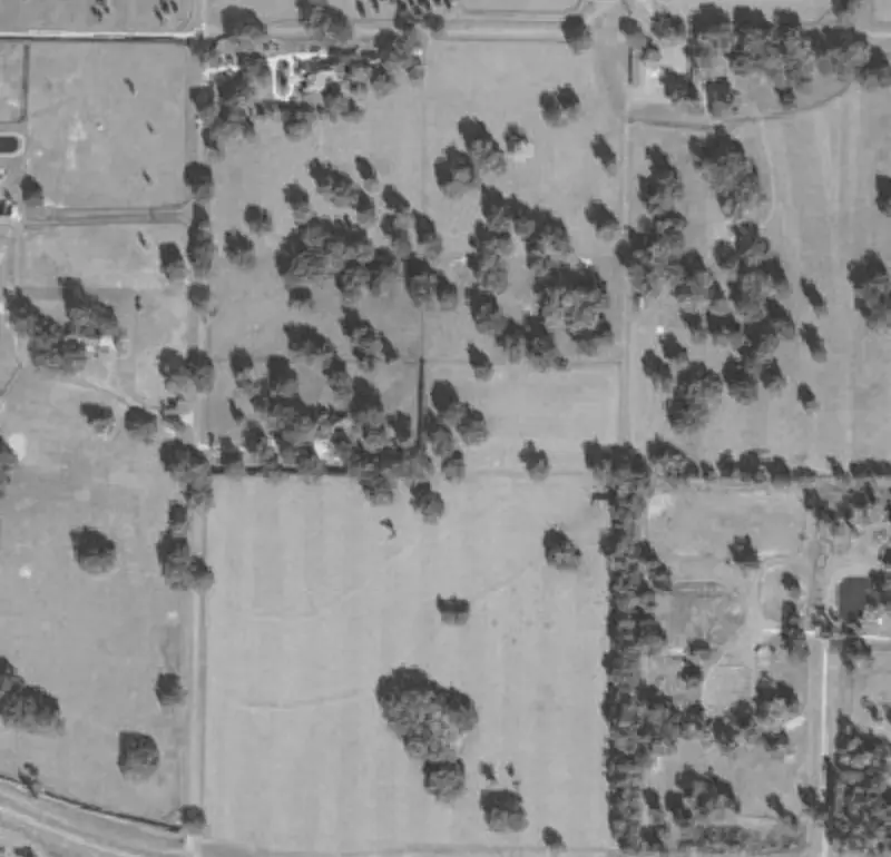 Example parcel
| Sale date | Acres | Price | Price per acre | Distance | |
|---|---|---|---|---|---|
| 1 | 2026-06-12 | 10.02 | 41,500 | 4,142 | 0.8 mi |
| 2 | 2026-04-03 | 9.00 | 36,000 | 4,000 | 1.4 mi |
| 3 | 2026-02-21 | 10.40 | 44,900 | 4,317 | 2.1 mi |
| 4 | 2025-11-08 | 7.80 | 30,500 | 3,910 | 3.6 mi |
Example parcel. The figures show the layout of a result, not a recorded sale.
Keep LandGlide for the field, use LandPricer for the number
Keep LandGlide if your job is walking land: finding the corners on your phone, checking who owns the lot next door, or showing a buyer the boundary from the truck. At 99.99 USD a year it does that very well, and it is hard to replace in the field.
Use LandPricer when the question changes from "where is it" to "what should I pay". The assessed value LandGlide shows comes from the county roll and often sits far from what vacant land actually sells for, and a single last sale tells you little about a parcel that has not changed hands in twenty years. LandPricer finds recorded land sales near the parcel, adjusts each one for size, time, road access, flood zone, wetlands and utilities, shows every adjustment, and labels the result High, Medium or Low confidence.

Plenty of land investors keep both apps. The map stays in the pocket, the price comes from LandPricer before an offer goes out.
LandGlide vs LandPricer and other apps like LandGlide
The table uses the plans each company publishes at the time of writing. Prices change, so check each pricing page before you buy.
| Feature | LandGlide | Regrid Property App | LandPricer |
|---|---|---|---|
| Built for | Finding property lines and owners on a phone, in the field | Parcel maps and parcel data exports | Pricing vacant land and acreage for offers, listings and lending |
| Entry price | 9.99 USD per month or 99.99 USD per year per user, 7 day trial | Pro 10 USD per month or 100 USD per year | Investor 79 USD per month, or 39 USD per month billed yearly |
| Team pricing | 10 percent off for 2 to 5 users, up to 50 percent off for 101 or more | Team and enterprise plans on request | Pro, Acquisition and Scale plans with more rows and seats |
| Parcel boundaries and owner | Yes, about 157 million parcels in 3,200 plus counties | Yes, nationwide | Yes, on every valuation with the parcel outline on the map |
| Value shown | County assessed figures and last sale price where published | County assessed figures where published | Market value from adjusted land comps with a 20th to 80th percentile range |
| Comparable land sales | No | No | Yes, each comp listed with distance, date and adjustments |
| Confidence per parcel | No | No | High, Medium or Low on every value |
| Max offer | No | No | Max offer for flip, wholesale, seller financing, build or hold |
| List pricing | No | Spreadsheet exports, 5,000 rows a month on Pro | Bulk pricing of CSV lists, 5,000 rows a month on Pro |
Where LandGlide wins: price, the GPS blue dot on the parcel, offline field use and a very simple app. Where LandPricer wins: a market value you can defend, the comps behind it and an offer worked back from your exit.
Why land investors look for an alternative to LandGlide
-
01
The assessed value on the parcel card is a tax number, and in counties that have not reassessed in years it can sit far below what land actually sells for
-
02
The last sale shown may be a family transfer or a sale from 2004, which says nothing about today's price
-
03
There is no list of nearby vacant land sales, so the price research happens in a second tab or a spreadsheet
-
04
Flood zones, wetlands, slope and road frontage have to be checked one by one before an offer
-
05
Pricing a mailing list of 2,000 parcels is not something a map app is built to do
LandPricer puts the value, the comps behind it, the risk flags and the offer on one parcel record.
How to go from a LandGlide parcel to a priced offer
-
1
1. Copy the APN
Open the parcel in LandGlide and copy the APN, or the address if it has one. A dropped pin on the map works too.
-
2
2. Price the parcel
Paste the APN into LandPricer with the state and county. In about 30 seconds you get market value, the range, price per acre, confidence and the comps used.
-
3
3. Read the risk flags
Check road distance, flood zone, wetlands, slope, soil and utilities. Any of them can move a land value more than the acreage does.
-
4
4. Set the offer
Pick your exit strategy in the Deal Calculator and send the max offer, or upload the whole county list to bulk land pricing and price every row at once.
Pricing a full mailing list instead of one parcel at a time
LandGlide is a one parcel at a time tool by design, and that is fine on a site visit. A blind offer campaign is a different job. If you mail 3,000 letters to rural owners in two counties, you need a value and an offer on all 3,000 rows before printing, and you need to know which of those values are weak.

Export the list from your data source as CSV with APN, county and state. Upload it to LandPricer and each row comes back with market value, range, confidence, price per acre, LandPricer Score and a max offer. Sort by confidence, mail the High and Medium rows, and open the Low rows to read the comps first. On the Pro plan that is 5,000 rows a month for 99 USD per month billed yearly, about 20 USD per 1,000 priced parcels, which is small next to 0.60 to 1.00 USD of postage per letter. See how investors set the offer in blind offer pricing software.
Who uses LandPricer next to or instead of LandGlide
-
01
Land flippers who find deals with a map app and need a price they trust before the letter goes out
-
02
Seller financing investors who need a defensible value behind each note they carry
-
03
Land brokers who want comps they can show a seller when setting a list price
-
04
Acquisition teams pricing thousands of rural parcels a month across many counties
-
05
Lenders and funds who have to document how a land collateral value was reached
LandGlide alternative questions
What is the best alternative to LandGlide?
For land investors who need a price, the best alternative to LandGlide is a tool that values land from land sales. LandPricer returns a market value from adjusted comps, a confidence range and a max offer for one APN or a whole list. For property lines alone, Regrid, onX and county GIS viewers do a similar job to LandGlide.
Are there apps like LandGlide that show land value?
Yes. LandGlide and Regrid show the county assessed value and the last recorded sale where the county publishes them, but those are tax and history figures, not market values. LandPricer shows a market value built from recorded vacant land sales nearby, with each comp, its adjustments and a confidence label.
How much does LandGlide cost?
LandGlide costs 9.99 USD per user per month or 99.99 USD per user per year, after a 7 day free trial. Corporate accounts for 2 or more users get volume discounts from 10 percent for 2 to 5 users up to 50 percent for 101 or more. The full breakdown is in LandGlide cost and pricing plans.
Does LandGlide show comps?
No. LandGlide shows the parcel's own data, such as owner, acreage, assessed value, last sale price and transfer date, but it does not list comparable sales around the parcel. To price land you need recorded sales of similar vacant parcels nearby, which is what land comps in LandPricer provides.
Can I use LandPricer on my phone in the field?
Yes. LandPricer runs in the phone browser, so you can drop a pin or type an APN on site and get the value, the comps and the risk flags. It is not a GPS boundary app, so many investors keep LandGlide or onX open for walking the lines and LandPricer for the price.
Is LandPricer more expensive than LandGlide?
Yes, because it does a different job. LandGlide is 99.99 USD a year for maps and parcel data. LandPricer starts at 39 USD per month billed yearly for single valuations, and bulk list pricing starts on Pro at 99 USD per month billed yearly. One overpriced land deal costs more than a year of either.
Price a parcel you found in LandGlide
Enter the APN or address and see the market value, the comps behind it and a max offer next to the assessed value you have now.