Land comps you can defend
Land comps are recorded sales of parcels similar to the one you are pricing. LandPricer pulls comparable land sales within a widening radius, keeps vacant and agricultural land of a similar size, adjusts each sale for time, size, access, flood and wetlands, and shows the source of every record.
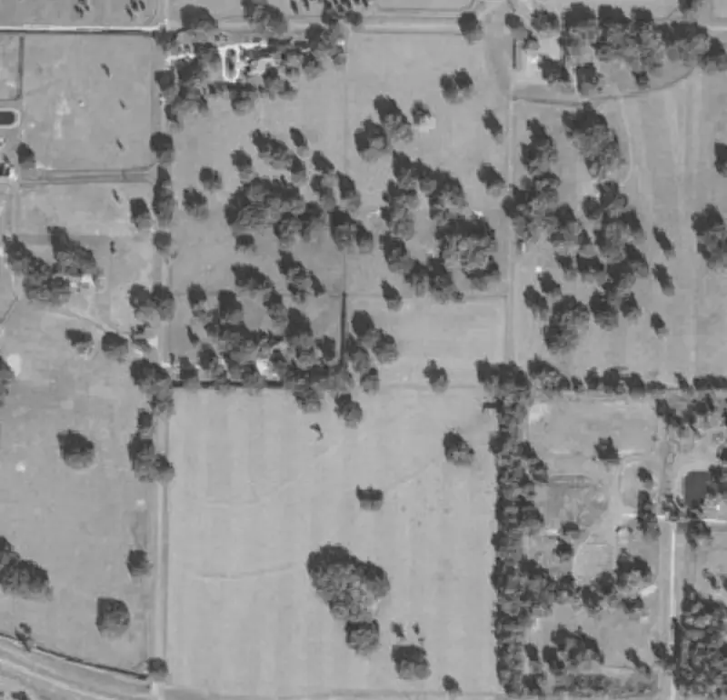 Example parcel
| Sale date | Acres | Price | Price per acre | Distance | |
|---|---|---|---|---|---|
| 1 | 2026-06-12 | 10.02 | 41,500 | 4,142 | 0.8 mi |
| 2 | 2026-04-03 | 9.00 | 36,000 | 4,000 | 1.4 mi |
| 3 | 2026-02-21 | 10.40 | 44,900 | 4,317 | 2.1 mi |
| 4 | 2025-11-08 | 7.80 | 30,500 | 3,910 | 3.6 mi |
Example parcel. The figures show the layout of a result, not a recorded sale.
Comparable land sales in one table
| Column | What it tells you |
|---|---|
| Sale date | How recent the sale is. Older sales get a time adjustment. |
| Price | The recorded sale price. |
| Acres | The size of the comp, used for the size adjustment. |
| Price per acre | Price divided by acres, the unit land is compared in. |
| Distance | How far the comp is from your parcel. |
| Similarity | A score from size, land use, access, flood and distance. |
| Source | The record the sale comes from. |
Every comp has a number that matches its square on the map.
How LandPricer selects comparable land sales
-
01
Search starts at 5 miles and widens up to 30 miles, same county first.
-
02
Only vacant and agricultural land. Sales with houses or commercial buildings are left out.
-
03
Sales from the last 24 months, extended to 36 when there are too few.
-
04
Parcels from a third of your acreage to three times your acreage.
-
05
Recorded sales only. Asking prices from listings are never used as comps.
-
06
Sales that look like family transfers or foreclosures are flagged and weighted down.
Adjustments shown line by line
-
01
Time. Each sale is moved to today with the county price trend.
-
02
Size. The county's own curve corrects for larger tracts selling for less per acre.
-
03
Access. A comp with road frontage is adjusted down when your parcel has none, and the reverse.
-
04
Flood. Discounts when the share of land in a flood hazard area differs.
-
05
Wetlands. Discounts for the share of mapped wetlands.
-
06
Utilities. Adjusted where power, water or sewer availability is known.
You see the adjusted price per acre next to the raw one, so you can disagree with any line.
How many comps each plan shows
| Plan | Comps per valuation |
|---|---|
| Without an account | 2 |
| Account allowance | 5 |
| Investor | 15 |
| Pro | 30 |
| Acquisition | 30 |
| Scale | 50 |
| Enterprise | 50 |
Land comps questions
How do I find comparable land sales?
Look for recorded sales of vacant land of similar size near the parcel in the last one to two years, then adjust for differences. LandPricer runs that search for you and shows the result in one table with the sources.
Why use recorded sales and not listings?
A listing is what a seller hopes to get. A recorded sale is what a buyer paid. Asking prices for land often sit well above the sale price, so mixing them in pushes the estimate up.
What if there are no comps nearby?
The search widens and the confidence label drops. In states that do not publish sale prices, LandPricer uses neighboring county comps and other methods and names them. Land comps in non-disclosure states.
Can I remove a comp I do not agree with?
Yes. Uncheck any comp and the estimate and range update at once.
Pull comps for your parcel
Enter an APN, an address or drop a pin.