APN lookup with parcel facts and land value
An APN, or assessor parcel number, is the ID a county gives every parcel for property tax. Enter the APN with its state and county, and LandPricer finds the parcel, draws it on the map, reads its acreage, land use, flood zone and wetlands, and prices it from nearby recorded land sales.
 Example parcel
| Sale date | Acres | Price | Price per acre | Distance | |
|---|---|---|---|---|---|
| 1 | 2026-06-12 | 10.02 | 41,500 | 4,142 | 0.8 mi |
| 2 | 2026-04-03 | 9.00 | 36,000 | 4,000 | 1.4 mi |
| 3 | 2026-02-21 | 10.40 | 44,900 | 4,317 | 2.1 mi |
| 4 | 2025-11-08 | 7.80 | 30,500 | 3,910 | 3.6 mi |
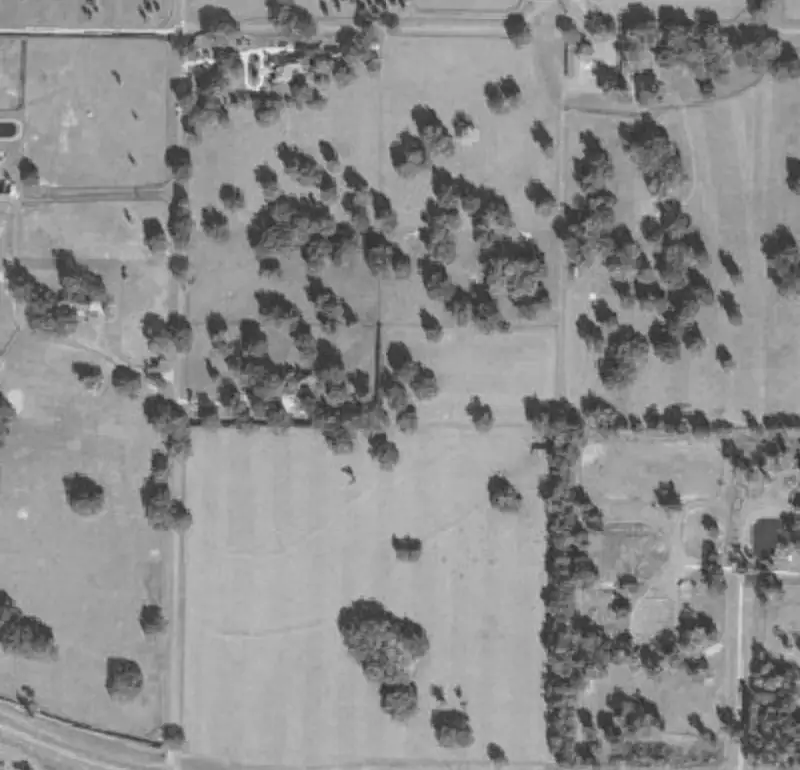
Example parcel. The figures show the layout of a result, not a recorded sale.
What an APN is and where to find it
Every county numbers its parcels in its own format. The same number can mean different parcels in two counties, so an APN always goes with a state and a county.
-
01
On the property tax bill, usually near the owner name
-
02
On the county assessor or treasurer website, searchable by owner or address
-
03
On the deed or the title commitment
-
04
On the county GIS parcel viewer, in the parcel popup
Other names for the same number: parcel ID, PIN, tax ID, property ID, folio number, account number.
APN formats differ by county
Some counties use dashes, some dots, some plain digits. LandPricer accepts the number with or without separators and shows the expected format for the county you pick.
| Format style | How it looks |
|---|---|
| Book, page and parcel | 123-45-678 |
| Section, township and range based | 12-34-56-789-000 |
| Plain digits | 1234567890 |
| Letters and digits | R1234567 |
What the APN lookup returns
-
01
The parcel outline on the map with satellite view
-
02
Acreage, land use and assessed land value from the county record
-
03
Last recorded sale where the county publishes it
-
04
Flood zone, wetlands share, average slope and distance to the nearest road
-
05
Estimated market value with range and confidence
-
06
The first comparable land sales, with the rest after you create your account
APN lookup questions
Can I look up an APN in any county?
You can enter any US county. When a county's parcel numbers cannot be matched, LandPricer asks for the address or a pin on the map instead and prices the parcel the same way.
Can I find the owner by APN?
Owner names and mailing addresses from parcel records are part of the owner data limit on the Pro plan and above. They are used for outreach to owners, inside the law and the terms of the data.
Can I look up many APNs at once?
Yes. Upload a CSV of APNs to bulk land pricing and get value, max offer and confidence for every row.
Is an APN the same as a legal description?
No. The APN is a tax ID. The legal description on the deed defines the boundary. For a purchase, the title company works from the legal description.
Look up a parcel by APN
Choose the state and county, enter the APN and press the button.