Price per acre by zip code
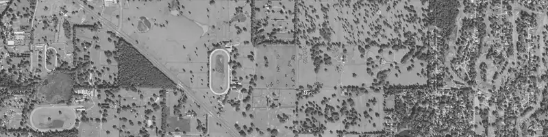
Price per acre by zip code is the median sale price per acre of land that sold in and around one zip code. LandPricer reads recorded vacant and agricultural land sales near the zip code, adjusts them for size and time, and shows the median, the spread and the sales behind it.
Look up a zip code
How the zip code number is calculated
-
01
Uses recorded land sales only, never asking prices from listings.
-
02
Keeps vacant and agricultural land, leaves out parcels with houses or commercial buildings.
-
03
Adjusts each sale to today with the county price trend.
-
04
Adjusts each sale to a common parcel size, since small lots sell for more per acre.
-
05
Shows the median and the 20th to 80th percentile range.
-
06
Widens to neighboring zip codes when fewer than 4 sales are found and says so.
Why one parcel can differ from its zip code
A zip code can hold town lots, farmland, floodplain and hillside. The zip code median is a benchmark. To price one parcel, use its APN, address or a pin, and LandPricer compares it with the sales most like it instead of the whole zip code.
Price per acre by zip code questions
Where do the zip code numbers come from?
From recorded land sales in county records and licensed sales data, grouped by the zip code of the parcel. Every result lists the sales it used.
What about zip codes in non-disclosure states?
Where sale prices are not public, the zip code result uses neighboring disclosure counties adjusted by USDA county land data and assessment data, and it is labeled as such.
Can I compare several zip codes?
Yes. Run the lookup for each one, or upload a list of parcels to bulk land pricing to price them all at once.
Price a parcel in this zip code
Enter an APN, an address or drop a pin.