Land valuation software built on adjusted comps
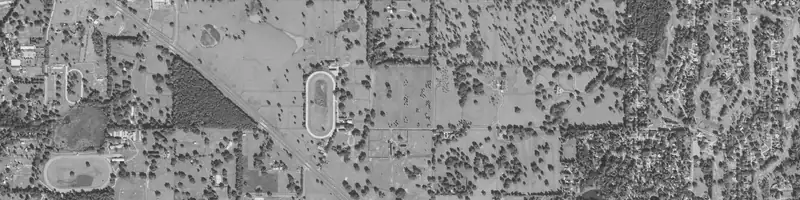
Land valuation software estimates what a vacant or rural parcel is worth from comparable land sales and parcel facts. LandPricer finds the comps, adjusts them for time, size, access, flood, wetlands and utilities, and returns a market value with a confidence range, a price per acre and a maximum offer for your strategy.
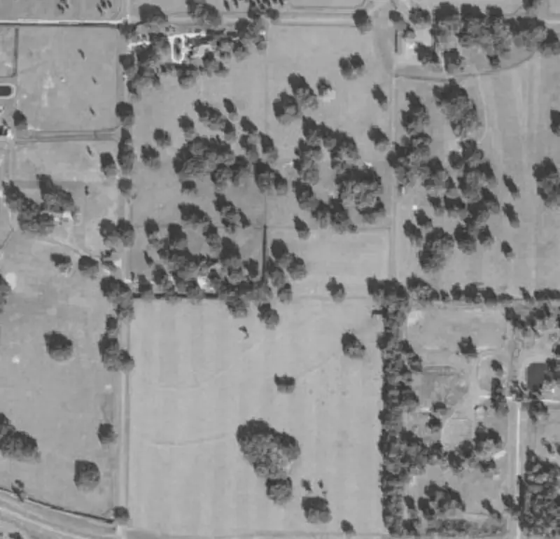 Example parcel
| Sale date | Acres | Price | Price per acre | Distance | |
|---|---|---|---|---|---|
| 1 | 2026-06-12 | 10.02 | 41,500 | 4,142 | 0.8 mi |
| 2 | 2026-04-03 | 9.00 | 36,000 | 4,000 | 1.4 mi |
| 3 | 2026-02-21 | 10.40 | 44,900 | 4,317 | 2.1 mi |
| 4 | 2025-11-08 | 7.80 | 30,500 | 3,910 | 3.6 mi |
Example parcel. The figures show the layout of a result, not a recorded sale.
What good land valuation software should do
Valuing land is harder than valuing houses. There are fewer sales, parcels differ wildly in size and access, and in several states prices are not public at all. Software for land has to handle all of that and show its work.
-
01
Finds vacant and agricultural land sales within an expanding radius of 5 to 30 miles, same county first
-
02
Uses the last 24 months of sales, or 36 when the market is thin, within an acreage band of 0.33x to 3x the subject
-
03
Adjusts every comp for time, size, access, flood, wetlands share and utilities
-
04
Shows the estimate as a weighted median price per acre times acreage, with a 20th to 80th percentile range
-
05
Labels confidence High, Medium or Low from the number of comps and the width of the range
-
06
Names the method used in non-disclosure states and caps confidence at Medium there
-
07
Turns the value into a max offer for wholesale, flip, seller financing, build or hold
Land valuation software compared with other approaches
Most land buyers use one of four approaches. Each has a place, and they are not interchangeable.
| Approach | Speed | Comps and adjustments | Works at list scale | Accepted by lenders and courts |
|---|---|---|---|---|
| Spreadsheets and manual comps | Slow, often an hour or more per parcel | As good as the person doing it, rarely documented | No | No |
| Raw parcel data tools | Fast lookups | Shows sales, leaves the valuation to you | Partly | No |
| Licensed appraisal | Days to weeks, paid per report | Full, signed by a licensed appraiser | No | Yes |
| LandPricer | Seconds per parcel, bulk files in one pass | Adjusted comps with sources and a confidence range | Yes | No, it is not an appraisal |
Manual comps are a fine way to check one deal and a poor way to price a mailing list. Raw data tools save you the county website but still leave the math to you. An appraisal is required when a lender, a court or a tax filing needs one. LandPricer sits between the data and the appraisal: a documented market value fast enough to use on every lead.
How LandPricer works for land valuation
-
01
Enter an APN, an address or drop a pin on the map.
-
02
LandPricer matches the parcel and reads acreage, land use, access, flood, wetlands and utilities signals.
-
03
Comparable sales are selected and adjusted, and each comp is shown with its source, date, distance and adjusted price per acre.
-
04
You see the market value, the range, the confidence label and the LandPricer Score.
-
05
The Deal Calculator turns the value into a maximum offer, and you can save the parcel, export the memo or price a whole list in bulk.
Valuation limits by plan
| Plan | Single valuations per month | Comps per valuation | PDF reports |
|---|---|---|---|
| Investor | 100 | 15 | 20 per month |
| Pro | 1,000 | 30 | unlimited, no watermark |
| Acquisition | 3,000 | 30 | branded |
| Scale | 10,000 | 50 | branded |
| Enterprise | 30,000 | 50 | white label |
Who uses land valuation software
-
01
Land investors and flippers pricing offers before sending letters or calling sellers
-
02
Acquisition teams that need the same method on every parcel, whoever runs it
-
03
Brokers setting list prices and defending them with comps
-
04
Developers screening sites, and lenders and funds screening land collateral before ordering appraisals
Land valuation software questions
Is land valuation software as accurate as an appraisal?
It answers a different question. An appraisal is a signed opinion of value by a licensed professional for a specific use. LandPricer gives a documented market estimate with a range and confidence label, built for buying decisions at speed.
How does LandPricer handle states where sale prices are not public?
In non-disclosure states it combines comps from neighboring disclosure counties adjusted by USDA county land data ratios, an assessment implied value and USDA cropland or pasture value per acre as a floor. Confidence is capped at Medium and the method is named.
Can I see which comps the software used?
Yes. Every valuation lists its comps with source, sale date, distance, acreage and adjusted price per acre, so you can check each one against what you know about the local market.
What does the confidence label mean?
High means at least 8 comps within 10 miles and a range within plus or minus 20 percent. Medium means 4 to 7 comps or a range within 35 percent. Everything else is Low.
Can I try it before buying a plan?
Yes. Anyone can run 3 valuations without an account.
Value your next parcel in seconds
Enter an APN or address and see the comps, the adjustments and the value range behind the number.