How land valuation works in seven steps
Land valuation at LandPricer works in seven steps. Find the parcel, read its facts, collect recorded land sales nearby, adjust each one for differences, take a weighted median, set a range and a confidence label, then work back from value to your maximum offer. Every number keeps its source.
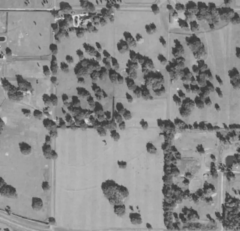 Example parcel
| Sale date | Acres | Price | Price per acre | Distance | |
|---|---|---|---|---|---|
| 1 | 2026-06-12 | 10.02 | 41,500 | 4,142 | 0.8 mi |
| 2 | 2026-04-03 | 9.00 | 36,000 | 4,000 | 1.4 mi |
| 3 | 2026-02-21 | 10.40 | 44,900 | 4,317 | 2.1 mi |
| 4 | 2025-11-08 | 7.80 | 30,500 | 3,910 | 3.6 mi |
Example parcel. The figures show the layout of a result, not a recorded sale.
The seven steps of a LandPricer valuation
-
1
1. Find the parcel
LandPricer resolves the APN with its state and county, geocodes the address, or takes the pin or boundary you draw on the map. It reads acreage, land use, assessed land value and the last recorded sale from the county record.
-
2
2. Read the parcel facts
It checks the parcel against the federal flood hazard layer, the national wetlands inventory, elevation data for slope, soil data and the road network for distance to the nearest road.
-
3
3. Collect comparable sales
It searches recorded sales of vacant and agricultural land within 5 miles, widening up to 30 miles, same county first, from the last 24 months, or 36 when sales are thin, and parcels from a third to three times the size.
-
4
4. Adjust every comp
Each sale is moved to today with the county price trend, corrected for size with a curve fitted on the county's own sales, and adjusted for road access, flood zone, wetlands share and utilities where known.
-
5
5. Estimate the value
The estimate is the weighted median of the adjusted prices per acre, with more weight on similar and recent sales, multiplied by the acreage.
-
6
6. Set the range and the confidence
The range runs from the 20th to the 80th percentile of the adjusted comps. Confidence is High with at least 8 comps within 10 miles and a range within 20 percent either way, Medium with 4 to 7 comps or a range within 35 percent, Low otherwise.
-
7
7. Work back to the max offer
From the retail value, the Deal Calculator subtracts selling, closing and holding costs and your target profit for the strategy you pick, and shows the maximum offer and the expected return.
When sale prices are not public
Alaska, Idaho, Kansas, Louisiana, Mississippi, Montana, New Mexico, North Dakota, South Dakota, Texas, Utah, Wyoming and parts of Missouri do not publish sale prices in public records. There LandPricer uses, in order: comps from neighboring disclosure counties adjusted by the ratio of USDA county land data, an assessment implied value (assessed land value divided by a calibrated county ratio), and USDA cropland or pasture value per acre as a rural floor. Confidence is capped at Medium, the range is wider, and the method is named under the number.
Data sources by category
| Data | Category of source |
|---|---|
| Parcel boundaries, APN, acreage, land use, assessed value | County parcel records and licensed parcel data |
| Recorded sales | County recorder data and licensed sales data |
| Flood zones | Federal flood hazard maps |
| Wetlands | National wetlands inventory |
| Elevation and slope | Federal elevation data |
| Soils | Federal soil survey |
| Roads | Open road network data |
| Benchmarks | USDA land value surveys |
What LandPricer will not do
-
01
It will not invent a comp or show a sale it cannot source.
-
02
It will not mix asking prices from listings into the estimate.
-
03
It will not hide a thin result behind a precise number. Low confidence is shown as Low.
-
04
It will not call itself an appraisal.
How estimates get better over time
When you mark a parcel as purchased or sold in the CRM, LandPricer compares the estimate at acquisition with the price you paid or received and uses the difference to recalibrate the adjustments for that county.
Questions about the method
Is this an automated valuation model?
Yes. It is a comps based automated valuation built for land, with every input visible. It is not an appraisal and does not replace a licensed appraiser where one is required.
Why a weighted median and not an average?
One unusual sale can pull an average far off. A median resists outliers, and the weights favor the sales most like your parcel.
Can I see why a comp was chosen?
Yes. Each comp shows its distance, size, date, similarity score and every adjustment.
See the method on your parcel
Enter an APN, an address or drop a pin.