Parcel data you can price, not just read
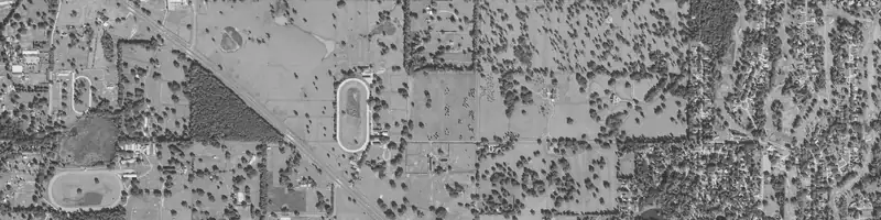
Parcel data is the set of facts tied to one piece of land: APN, boundary, acreage, owner, land use, assessed value and the physical layers around it. LandPricer pulls those facts for any US parcel from an APN, address or dropped pin and turns them into a market value, comps and a risk picture.
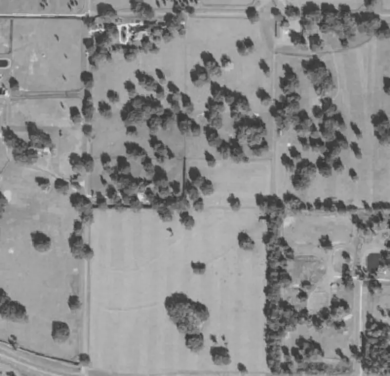 Example parcel
| Sale date | Acres | Price | Price per acre | Distance | |
|---|---|---|---|---|---|
| 1 | 2026-06-12 | 10.02 | 41,500 | 4,142 | 0.8 mi |
| 2 | 2026-04-03 | 9.00 | 36,000 | 4,000 | 1.4 mi |
| 3 | 2026-02-21 | 10.40 | 44,900 | 4,317 | 2.1 mi |
| 4 | 2025-11-08 | 7.80 | 30,500 | 3,910 | 3.6 mi |
Example parcel. The figures show the layout of a result, not a recorded sale.
What LandPricer shows for every parcel
Raw parcel records answer who owns the land and where the lines are. They do not tell you what it is worth or what could go wrong. LandPricer puts both on one screen.
-
01
Parcel identity from county records and licensed parcel data: APN, boundary, acreage, legal description, land use code and assessed value
-
02
Owner name and mailing address from parcel records, with ownership signals such as absentee or out of state owner
-
03
Federal flood zones, wetland share of the parcel, elevation and slope, and soil types from federal layers
-
04
Road access and frontage, with a flag for parcels that look landlocked
-
05
Utilities signals where data exists, zoning where the county publishes it
-
06
Comparable land sales nearby with sources, dates, price per acre and distance
-
07
Market value with a confidence range and the LandPricer Score from 0 to 100
How LandPricer works for parcel data lookups
-
01
Enter an APN, an address or drop a pin on the map. Use the APN lookup when all you have is a parcel number from a tax list.
-
02
LandPricer matches the parcel and draws its boundary on the map with the flood, wetland and elevation layers on top.
-
03
The parcel facts load beside the map: acreage, land use, owner, assessed value, access and utilities signals.
-
04
Comparable sales and the valuation load underneath, so the parcel record and the price sit together.
-
05
Save the parcel, add it to monitoring, download the due diligence report or send it to the CRM.
Where the parcel data comes from
We use the same categories of sources a careful buyer would check by hand, joined on one parcel.
| Data category | What it adds to the parcel |
|---|---|
| County records | Ownership, assessed value, land use, recorded sales where states disclose prices |
| Licensed parcel and sales data | Boundaries, acreage, normalized APNs across counties, sale records |
| Federal flood, wetland, elevation and soil layers | Flood zone, wetland share, slope, soil types |
| USDA land value surveys | County land values used for adjustments and the rural floor in non-disclosure states |
Coverage and freshness differ by county. When a field is missing, the parcel page says so instead of filling the gap with a guess.
Parcel data across LandPricer plans
| Resource | Investor | Pro | Acquisition | Scale | Enterprise |
|---|---|---|---|---|---|
| Single valuations per month | 100 | 1,000 | 3,000 | 10,000 | 30,000 |
| Comps per valuation | 15 | 30 | 30 | 50 | 50 |
| Monitored parcels | none | 500 | 5,000 | 50,000 | 150,000 |
| API | none | none | none | 100,000 calls per month | 300,000 calls per month |
Who needs parcel data with a price attached
-
01
Land investors checking a lead from a mailing response before calling the seller back
-
02
Acquisition teams that underwrite parcels across many counties in one consistent format
-
03
Brokers preparing a listing and answering buyer questions about flood, access and utilities
-
04
Developers screening sites before paying for surveys, and lenders reviewing land collateral
Parcel data questions
Is LandPricer parcel data the same as a title search?
No. Parcel data shows ownership and recorded facts as county records present them. A title search by a title company or attorney checks liens, easements and the chain of title, and you still need one before closing.
How current is the ownership information?
Ownership comes from county records and licensed parcel data and is refreshed as counties publish updates. Recent transfers can take time to appear, so confirm the owner of record before you sign a contract.
Can I see parcel data in non-disclosure states?
Yes. Boundaries, ownership, land use and the physical layers are available. Sale prices are not public in those states, so the valuation uses a named alternative method and the confidence is capped at Medium.
Can I export parcel data?
Yes. Every plan exports to CSV and XLSX, and the Scale and Enterprise plans include API access.
Does parcel data include zoning?
Zoning appears where the county publishes it in a usable form. Where it does not, the page says zoning is not available and you check it with the county planning office.
Look up a parcel and see its value
Enter an APN, an address or drop a pin and get the parcel, its risk layers and a market value in one view.