Land value API and land valuation API for vacant US parcels
The LandPricer land value API returns a market value for vacant and agricultural US parcels as JSON: the estimate, a low to high range, price per acre, a High, Medium or Low confidence label and the adjusted land comps behind it. Send an APN with state and county, an address, a point or a polygon. Lists of parcels run as bulk jobs that report back by webhook.
Test the model on a parcel you know before you write a line of code. 3 valuations without an account.
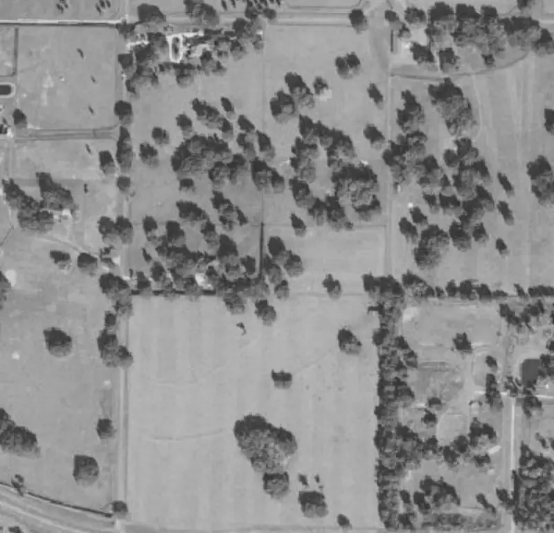 Example parcel
| Sale date | Acres | Price | Price per acre | Distance | |
|---|---|---|---|---|---|
| 1 | 2026-06-12 | 10.02 | 41,500 | 4,142 | 0.8 mi |
| 2 | 2026-04-03 | 9.00 | 36,000 | 4,000 | 1.4 mi |
| 3 | 2026-02-21 | 10.40 | 44,900 | 4,317 | 2.1 mi |
| 4 | 2025-11-08 | 7.80 | 30,500 | 3,910 | 3.6 mi |
Example parcel. The figures show the layout of a result, not a recorded sale.
Why residential AVM APIs leave land parcels blank
Most property valuation APIs are home price models. They learn from bedrooms, square footage and recent sales of houses, and several of them say outright that farm land, special use parcels and lots without a structure fall outside the model. Parcel data APIs go the other way: they return boundaries, owners and the assessor's land value, but no market value at all.

A land value API has to start from land sales. LandPricer finds recorded vacant and agricultural sales near the parcel, adjusts each one for size, sale date, road access, flood zone, wetlands share, slope and utilities, and returns the value together with the evidence. When sales are thin, the response says so: the method field tells you whether the value came from local comps, neighboring county comps, an assessment implied figure or a USDA benchmark, and the confidence drops to match.
Land valuation API options compared
The table sorts the APIs a land team usually looks at by what they actually return for a vacant parcel. Vendor details come from each company's public pages at the time of writing. Most of them quote enterprise pricing privately, so we do not show numbers we could not verify.
| API type | Example vendors | Market value for vacant land | Comps returned | Confidence or range | Offer math | Pricing |
|---|---|---|---|---|---|---|
| Land value API | LandPricer | Yes, any vacant or agricultural parcel | Yes, with adjustments and sources | Range plus High, Medium or Low label with the reason | Max offer per strategy | Scale 749 USD a month billed yearly with 100,000 calls, Enterprise with SLA |
| Parcel data API | Regrid, ReportAll | No, assessor land value only | No | No | No | Regrid self serve from 2,000 records a month, extra records 0.10 to 0.15 USD |
| Residential AVM API | ATTOM, HouseCanary, First American | Built for homes, land and farm parcels often excluded | Home comps | Confidence score on homes | No | Quoted by sales |
| Farmland data | AcreValue | 17 states, tillable fields only | Per state ag sales | No | No | API listed for Enterprise |
Where the others win: Regrid has the cleanest nationwide parcel geometry and is the cheaper choice if you only need boundaries and owner names. Residential AVMs are the right tool for houses, and lenders already have them approved in their credit policy. Use LandPricer for the land itself, next to those feeds. See the Regrid alternative page for a closer look at that split.
What one land valuation API call returns
A POST to /v1/valuation with an APN, state and county comes back in one response with these blocks.
| Field | What is inside |
|---|---|
| parcel | ID, APN, state, county, acreage, land use, geometry |
| value | estimate, low, high, price per acre, currency |
| confidence | High, Medium or Low, plus the reason in plain words |
| method | local comps, neighboring county comps, assessment implied or USDA benchmark |
| comps | sale date, price, acres, price per acre, distance, similarity and each adjustment |
| risk | flood zone, wetlands share, slope, road access |
| max_offer | the offer for the strategy and costs you send, or a no deal flag |
Every response carries the header X-LandPricer-Mode so your logs show whether a call came from a test or a live key.
Land value API endpoints
| Method | Endpoint | Use it for |
|---|---|---|
| POST | /v1/valuation | One parcel by APN with state and county, address, point or polygon |
| POST | /v1/bulk | A list of parcels, returns a job ID |
| GET | /v1/bulk/{job_id} | Job status and the priced rows |
| GET | /v1/parcels/{id} | Parcel facts for a parcel already valued |
| GET | /v1/parcels/{id}/comps | The comparable land sales with adjustments |
| POST | /v1/webhooks | A signed callback URL for bulk and monitoring events |
The full request and response schemas sit in your account under API keys, next to the keys themselves.
How to add land values to your product
-
1
1. Try the model by hand
Price three parcels you already know in the form at the top of this page. If the comps look like the sales you would have picked, the API will give your users the same answer.
-
2
2. Create a test key
Test keys start with lp_test_ and return fixed responses in the real format. They do not count toward the monthly call limit, so you can build the integration and your error handling without spending calls.
-
3
3. Switch to a live key
Live keys start with lp_live_. Calls are counted per account against the plan: 120 requests a minute on Scale, 300 on Enterprise. A refused call (bad input, parcel not found, limit reached) is not charged against your monthly calls.
-
4
4. Move lists to bulk jobs
For a county wide screen or a mailing list, post the rows to /v1/bulk and register a webhook. You get one signed event when the job is done instead of polling thousands of single calls.
Who buys a land value API

- Land acquisition companies that price every row of a mailing list inside their own CRM before the offers print. Our bulk land pricing page shows the same job without code.
- Lenders and private credit funds that need a land collateral value with the comps attached to the credit file, see land collateral valuation.
- Proptech and listing platforms that want a value and price per acre on every land listing, not only on houses.
- Solar, battery and data center site selection teams that screen thousands of rural parcels and want a land cost per acre before a lease offer.
- Home builders and developers who check land cost against the residual value of a project, see the residual land value calculator.
Land value API pricing
The API is part of the Scale and Enterprise plans, together with the web app, bulk pricing and monitoring.
| Plan | Price | API calls a month | Requests a minute | Other limits |
|---|---|---|---|---|
| Scale | 749 USD a month billed yearly, or 1,499 USD monthly | 100,000 | 120 | 100,000 bulk rows, 50,000 monitored parcels, 25 seats |
| Enterprise | 2,499 USD a month billed yearly, or 4,999 USD monthly | 300,000 | 300 | 99.9 percent uptime SLA, SSO, 100 seats |
At 100,000 calls a month on Scale billed yearly, one valued parcel works out to under 1 cent of plan cost, with comps and the confidence label included. Smaller teams that price lists without code start on Pro at 99 USD a month billed yearly. All plans are on the pricing page.
Land value API questions
Is there an API for land value?
Yes. LandPricer has a REST API that returns a market value for vacant and agricultural US parcels, with a low to high range, price per acre, a confidence label and the adjusted comps. Most other property APIs either value homes only or return the assessor's land value, which is a tax figure and not a market price.
What is the best API for vacant land valuation?
The best API for vacant land is one built on land sales rather than home sales. Look for four things in the response: the comparable land sales used, the adjustment applied to each, a confidence level and a fallback method for thin markets. LandPricer returns all four; residential AVMs and parcel data APIs return none of them for raw land.
How accurate is a land valuation API?
Accuracy depends on how many recorded land sales exist near the parcel. In counties with frequent vacant land sales the range is narrow and the label is usually High; in rural counties and non-disclosure states the range widens. That is why every LandPricer response carries a High, Medium or Low label and the reason, so your code can route low confidence parcels to a person.
Does the API work in non-disclosure states?
Yes, with lower confidence. In states such as Texas, Utah and New Mexico, sale prices are not always recorded, so LandPricer falls back to neighboring county comps or an assessment implied value and says which method it used. Read more in our post on land comps in non-disclosure states.
How much does a land value API cost?
LandPricer's API comes with the Scale plan at 749 USD a month billed yearly for 100,000 calls, or Enterprise at 2,499 USD a month billed yearly for 300,000 calls with an SLA. Parcel data APIs cost less per record but do not return a market value, and most residential AVM vendors quote prices only through sales.
Can I store the values the API returns?
Yes. You can store valuations and comps inside your own business systems, for example on a CRM record or in a loan file. Reselling the raw parcel or sales data to third parties is not allowed under the Terms.
Price a parcel, then wire it in
Run a parcel through the form, compare the comps with what you know, then pick Scale and create your first key.